AeroDynamic
Drone Services
Elevate Your View — Smarter. Faster. Safer.
Professional Drone Services Across New England


Explore our Service Areas across New England — including: Massachusetts, Rhode Island, New Hampshire, Connecticut, Maine, and Vermont.

AeroDynamic Drone Services, based in New England, specializes in:
Aerial Mapping
Thermal Inspections
Aerial Photo/Video
3D Mapping/Modeling
Aerial Mapping & Orthomosaics
Accurate. Measurable. Ready to use.
Get a high-resolution, distortion-free map of your site—captured fast with precision drones and centimeter-level accuracy. Every pixel aligns to real-world coordinates, so you can measure, plan, inspect, and compare with confidence.
What it’s used for
Infrastructure inspections – Roofs, facades, utilities, and hard-to-reach assets without scaffolding or shutdowns
Construction & site planning – Overlay designs, measure stockpiles, calculate cut/fill, evaluate access or progress
Change tracking – Compare flights over time to spot erosion, settlement, or vegetation issues early
Why drones beat traditional methods
More detail than satellites
Safer than manual inspections
Faster and more cost-effective than survey crews
The bottom line
A survey-grade visual dataset delivered quickly—less downtime, safer workflows, better decisions.
Send us your site and timeline. We’ll handle the rest.
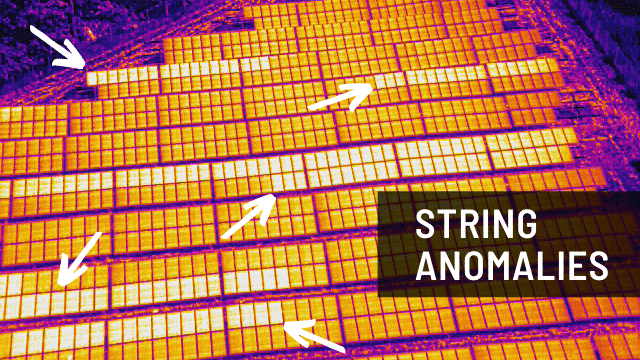
Thermal & Infrared
See heat. Find problems faster.
Using our DJI Matrice 4T thermal drone, we capture infrared data that reveals what standard cameras can’t—heat loss, moisture, electrical issues, and living subjects—quickly, safely, and without disruption.
What thermal is used for
Solar inspections – Find hot spots, failing cells, and underperforming panels before they cost you energy or safety
Roof & building inspections – Detect leaks, moisture intrusion, insulation gaps, and heat loss without walking the roof
Search & recovery – Spot people or animals at night, in woods, or low visibility using heat signatures
Infrastructure & utilities – Identify overheating components, insulation failures, or early fault conditions
Why thermal drones make sense
Safer than manual inspections – No ladders, scaffolding, or risky access
Non-destructive – No drilling, probing, or disturbance
Fast coverage – Large sites scanned in hours, not days
The bottom line
You get clear, actionable thermal data—maps, visuals, and reports that support maintenance, efficiency, safety, and recovery decisions.
Tell us the site and objective. We’ll deploy the right thermal solution.


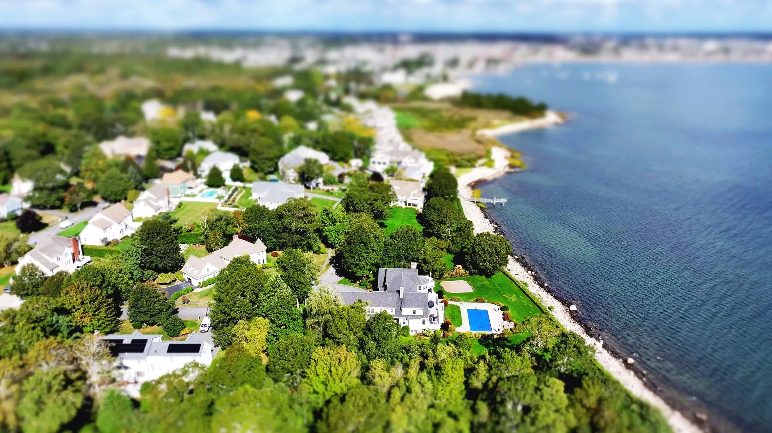
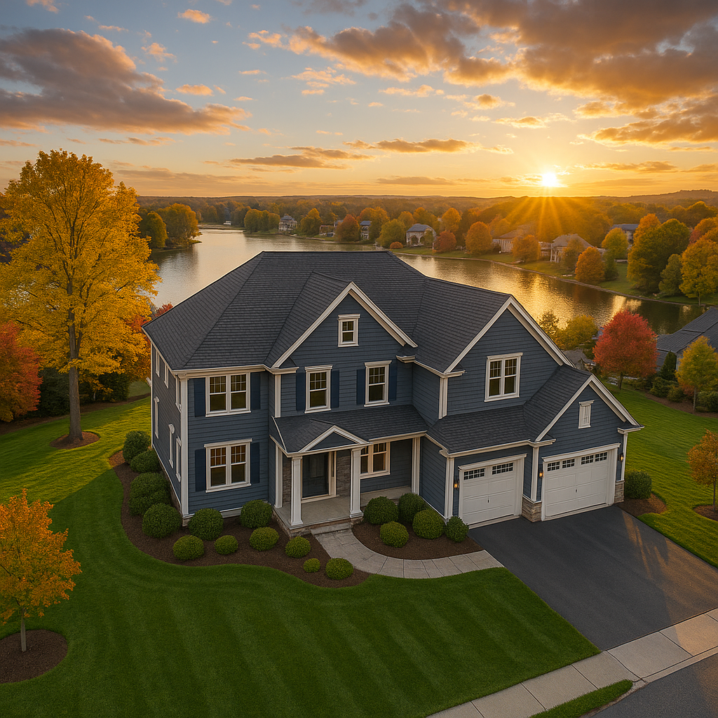
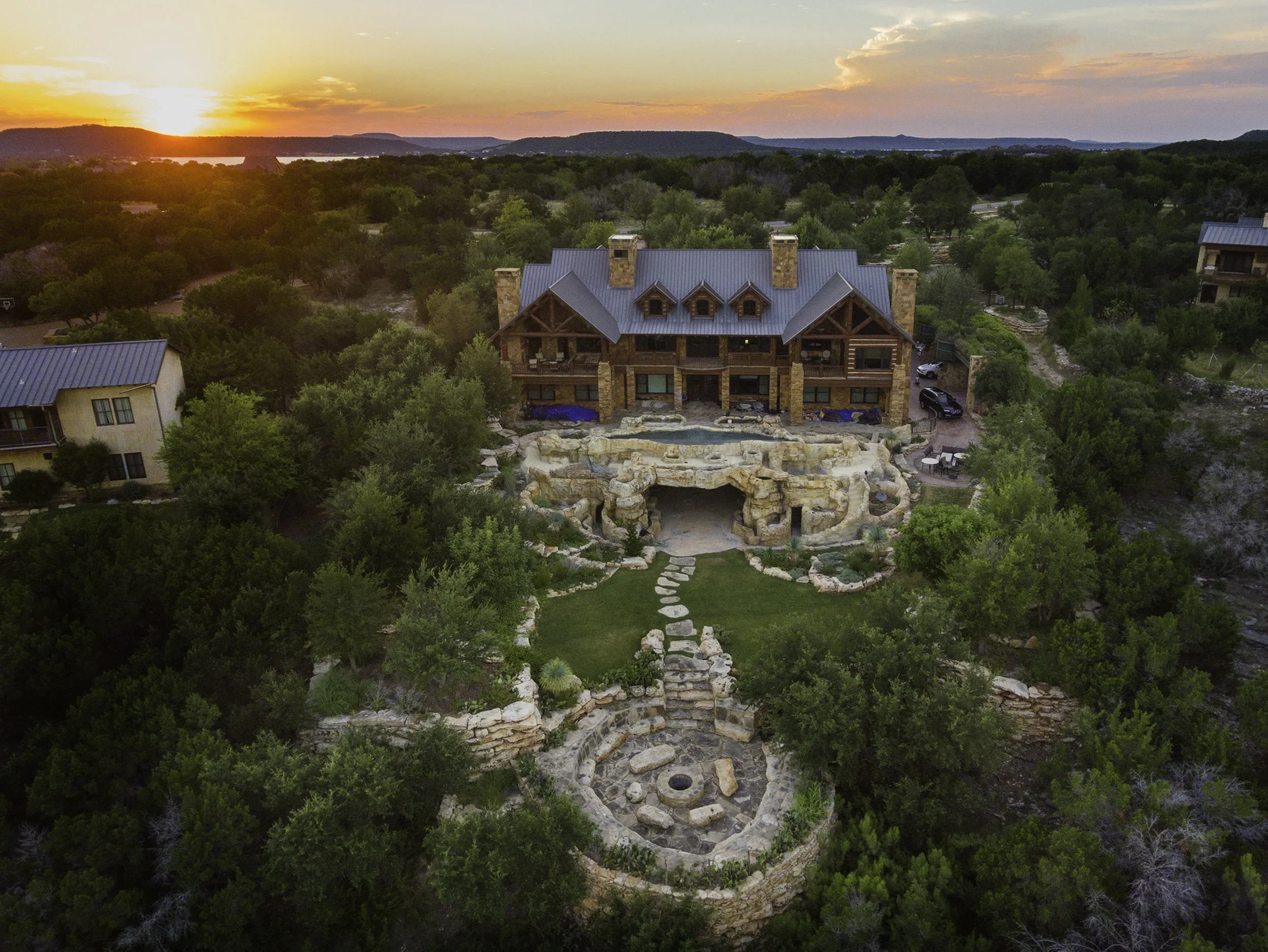
Show more. Feel bigger. Stand out.
We create clean, cinematic aerial photos and video that highlight scale, context, and movement—whether you’re selling property, promoting a brand, or documenting progress.
Ideal for
Real estate & land listings – Show layout, surroundings, and scale buyers can’t see from the ground
Events & productions – Add motion and perspective to weddings, festivals, and commercial shoots
Construction & commercial sites – Capture progress, access, and site scale with clarity
Marketing & branding – Eye-catching visuals for websites, ads, and social media
Why work with us
True aerial perspective – Context and scale ground cameras can’t deliver
Fast turnaround – Optimized for MLS, web, and social platforms
Fully licensed & insured – FAA-compliant, professional, and safe
The result
Visuals that grab attention, build trust, and drive action—all from a single flight.
Tell us what you’re promoting. We’ll capture it from the right angle.
Photography and Videography
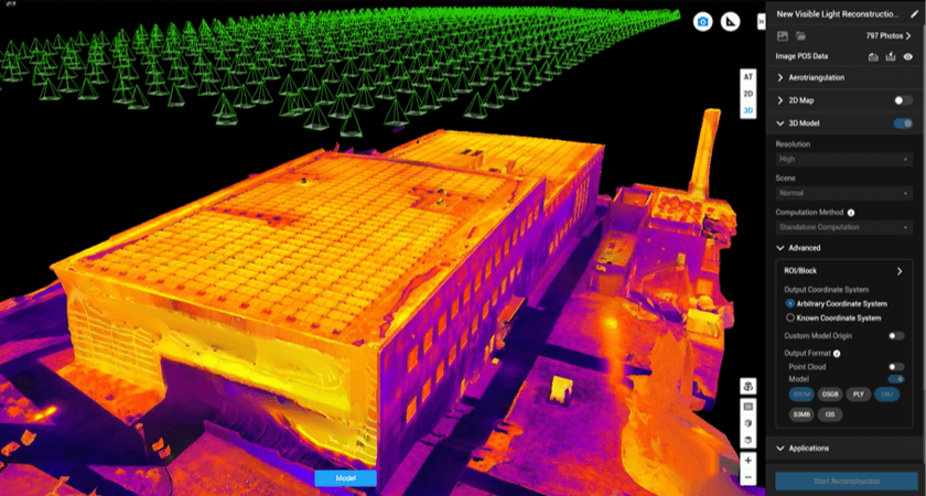
3D Mapping and Modeling
Measure in 3D. See the whole site.
We create accurate, fully measurable 3D models using drone photogrammetry and RTK positioning—giving you a detailed digital twin with shape, height, and surface detail, not just a flat map.
Ideal for
Inspections & asset documentation – View façades, structures, terrain, and equipment from any angle without risky access
Construction & planning – Verify as-builts, measure volumes, track changes, and overlay designs
Complex sites & terrain – Capture slopes, vertical features, and dense structures traditional mapping misses
Why 3D drones work better
Full context – Walk around, zoom in, slice through, and measure virtually
Workflow-ready data – Point clouds, meshes, DSM/DTM for CAD, BIM, and GIS
Faster & safer – Fewer crews, less risk, faster turnaround
The result
An interactive, survey-grade 3D model that supports inspection, planning, monitoring, and reporting—without the time, cost, or disruption of traditional methods.